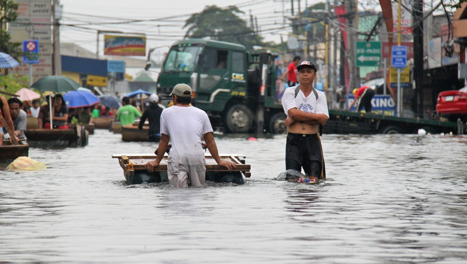
The Department of Public Works and Highways is preparing a detailed, science-based flood management plan after severe flooding hit Metro Manila and several provinces. Officials said the effort would use hazard mapping and data to guide where and how projects are built.
The department’s secretary ordered updates to all flood master plans, with the aim of matching projects to the areas that need them most. The approach is meant to move away from piecemeal fixes toward a more coordinated strategy.
The plan involves working with a university-based disaster research program, local governments and other agencies. Bringing these groups together is intended to improve the quality of hazard data and to align efforts across different levels of government.
Officials also pointed to specific trouble spots, including a flood-prone stretch of expressway, where the department is coordinating with operators and transport regulators on drainage and on alternate routes during emergencies.
Flooding is a recurring challenge in the Philippines, where heavy monsoon rains and tropical storms regularly overwhelm drainage systems. Better planning is seen as essential to reducing damage and disruption in future rainy seasons.
The department said the updated master plans would shape its priorities in the years ahead, with the goal of making communities more resilient to floods.